Travel: Vancouver 2007 Travel Notes

Hello.
[Photos for now; travel notes to be added later]
In October 2007, I traveled to Vancouver on my way to the local VCON Science FIction convention. This is a short impressionistic report based on a few hours spent in the city.
A warning: They don’t call the area “Raincouver” for nothing: From Thursday noon to Tuesday morning, I saw the sun exactly four times. As a result, you will find that most of the pictures below are a bit… wet and flat.
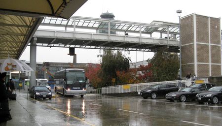
Arrival at Vancouver airport: “Welcome to Vancouver, sir: Here’s the pouring rain you expected.”
Richmond

Aberdeen Mall, Richmond.
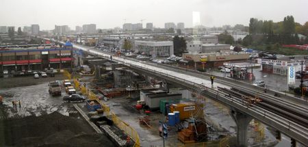
Canada Line construction in front of Lansdown Mall, Richmond.
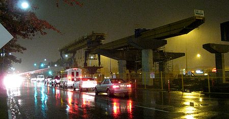
Canada Line construction in front of Radisson hotel, Richmond.

Typical Richmond storefront. Note relative size of signs.
Downtown Vancouver
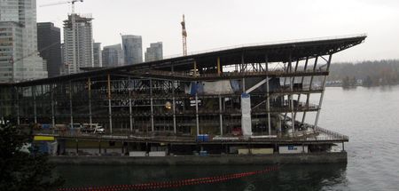
Construction in downtown: Convention Center.

Construction in downtown: Canada Line station.
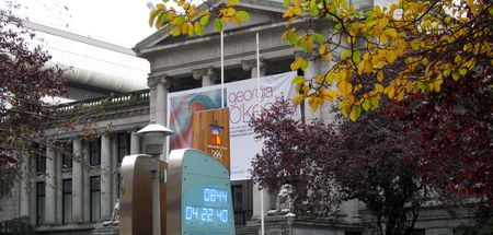
Vancouver Art Gallery, with clock counting down to the 2010 Olympics
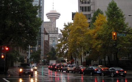
The Lookout, seen from Burrard Street
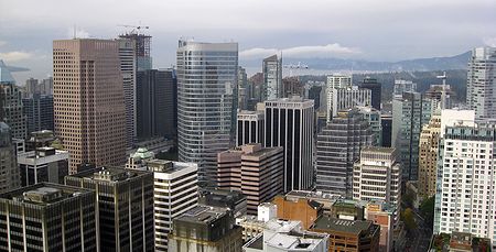
Downtown Vancouver, as seen from The Lookout
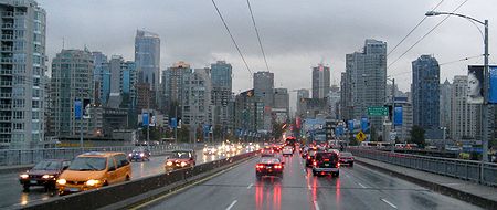
Rush hour in Vancouver, seen from Granville Bridge

Science Plaza

Vancouver downtown skyline, as seen from North Vancouver

Outside the Vancouver Public Library

Vancouver Public Library Atrium
Around downtown Vancouver
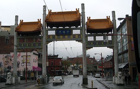
Chinatown entrance

False dusk over False Creek

Gastown, West Cordova Street

Gastown, Steam Clock
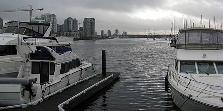
Docks at the Granville Island, looking at False Creek

Granville Island entrance
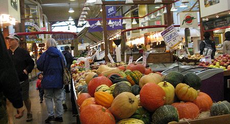
Inside the Granville Island Public Market

Agressive pigeons at the Granville Island Public Market.
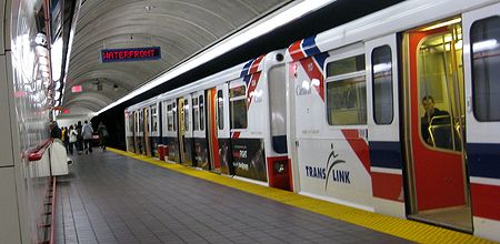
Skytrain: Waterfront station (terminal)
Burrard Inlet & Vancouver Port

Crow’s-eye view of the North Vancouver portuary installation. The yellow mounds are piles of sulphur.

Burrard Inlet portuary Installation and , as seen from The Lookout

HMAS Sydney, temporarily docked at Canada Place

Portuary installation and Seabus
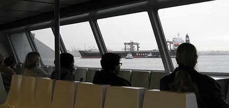
Supercargo ship as seen from the Seabus.
Stanley Park

Stanley Park as seem from The Lookout.

Lion’s Gate Bridge in the fog.

English Bay as seen from Prospect Point.
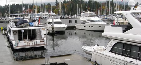
Docks near Stanley Park.

Seaplane landing near Stanley Park.

Seawall leading to the Lion’
s Gate Bridge.
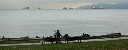
Typical scene in Stanley Park, with supercargo ships waiting in English Bay.

A well-kept area of Stanley Park

A wilder area of Stanley Park. Damage from the storms of 2006 are still obvious.
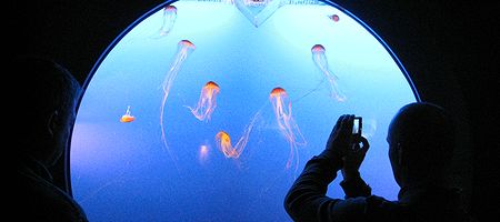
Jellyfish exhibit at the Aquarium

A rare sunny moment… as I’m leaving by plane. Vancouver North at the top; Stanley park is the forested island at the upper-left; the high-rise buildings are downtown Vancouver; the airport is at the lower left; and Richmond is the lower center. It takes roughly one hour to get from the bottom to the top of the picture.